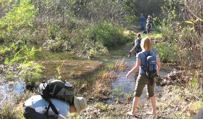
San Juan Creek, also called the San Juan River, is a 29-mile long stream in Orange and Riverside Counties, draining a watershed of 133.9 square miles . Its mainstem begins in the southern Santa Ana Mountains in the Cleveland National Forest. It winds west and south through San Juan Canyon, and is joined by Arroyo Trabuco as it passes through San Juan Capistrano. It flows into the Pacific Ocean at Doheny State Beach. San Juan Canyon provides a major part of the route for California State Route 74 .
Before Spanish colonization in the 1770s, the San Juan Creek watershed was inhabited by the Acjachemen or Juañeno Native Americans. The Juañeno were named by Spanish missionaries who built Mission San Juan Capistrano on the banks of a stream they named San Juan Creek. The watershed was used mainly for agriculture and ranching until the 1950s when residential suburban development began on a large scale. Since then, the human population has continued to encroach on floodplains of local streams. Flooding in the 20th and 21st centuries has caused considerable property damage in the San Juan watershed.
The San Juan watershed is home to sixteen major native plant communities and hundreds of animal species. However, the watershed is projected to be 48 percent urbanized by 2050. In addition, urban runoff has changed flow patterns in San Juan Creek and introduced pollutants to the river system. Although the main stem of San Juan Creek does not have any major water diversions or dams, some of its tributaries, including Trabuco and Oso Creeks, have been channelized or otherwise heavily modified by urbanization.
